Reading a winter storm warning when your calendar indicates late June is genuinely confusing. The central Idaho low valleys were in the 80s and on the verge of the 90s earlier this week. Weekend excursions through the mountain passes, such as a run up to West Yellowstone or over Lost Trail Pass on US 93, were being planned. After that, the forecasts quickly changed.
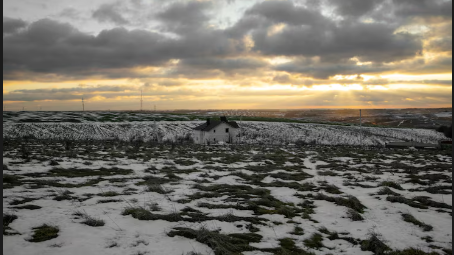
On June 27 and 28, a cold front moving through the Northern Rockies is drastically reducing the amount of snow on some of the most popular high-country roads in the area. The mountains in central Idaho and southwest Montana are under a full Winter Storm Warning, according to the National Weather Service office in Missoula. From Saturday night through Monday morning, heavy wet snow accumulations above 6,500 feet are predicted. The accumulations will be between 4 and 8 inches on warned terrain, up to 12 inches on the highest peaks in Lemhi County, and up to 16 inches on the Anaconda Pintler Mountains near Georgetown Lake. The final figure—16 inches of snow in the final week of June—is worth pondering for a little while.
The warning zone includes Lemhi Pass, Bannock Pass, Highway 28 from Tendoy to Lone Pine, and US 93 over Lost Trail Pass. The warm stretch abruptly ended, according to forecasters at the Missoula office, with high country temperatures turning “decidedly winter-like” and valley temperatures falling back into the 50s and 60s. When you take into account that some of these roads were perfectly dry pavement only a few days ago, the phrase seems almost understated.
The Great Falls NWS office issued a Winter Weather Advisory for the Ruby and Southern Beaverhead ranges, Northwest Beaverhead County, and the Gallatin, Madison, and Centennial mountains to the east, stating that up to 4 inches could fall between midnight on Saturday and noon on Monday. The Elkhorn and Boulder Mountains were added to the advisory in a subsequent update, which also included Homestake Pass on Interstate 90 close to Butte. Localized totals near the highest peaks were now increased to more than 8 inches.
The Yellowstone gateway passes, Monida Pass on Interstate 15 and Targhee Pass on US 20, are still in effect despite being under a lighter Winter Weather Advisory rather than the full warning. Even a few inches of wet snow on a mountain pass at midnight can make a routine drive considerably less routine. Those are busy corridors during the busiest part of the summer.
Forecasters say that Saturday night through Monday morning is the peak danger window, with the highest risk concentrated between midnight and midmorning each day. At that time, wet snow adheres most firmly to the highest pavement and snow levels are at their lowest. Wet snow loads up on tree branches, pulls down power lines, and makes road surfaces unpredictable in ways that can surprise even seasoned mountain drivers. It is heavier and clings differently than the dry powder people associate with ski season.
The precise impact of this on weekend travel volume is still unknown. Road trips through these passes are frequent in the summer, and not everyone keeps an eye on mountain weather advisories the way they might in January. Traveling in late June is predicated on the idea that the passes are cooperative, transparent, and open. That presumption is incorrect this weekend.
In the Northern Rockies, such weather is not entirely unheard of, but it doesn’t occur frequently enough to feel commonplace. The snow may be melting quickly at elevation by Monday afternoon when the sun returns. However, the time in between should be respected.