

Most people are familiar with one aspect of summer weather: the temperature rises thru the afternoon, peaks at 3 or 4 p.m., and then progressively decreases as the sun sets. That kind of place is Vinaròs, a seaside town in the Castellón province on the eastern Mediterranean coast of Spain. The worst of the heat is tempered by sea breezes. The water is near. Usually, things don’t get too bad.
Then came August 8, 2026, in the evening.
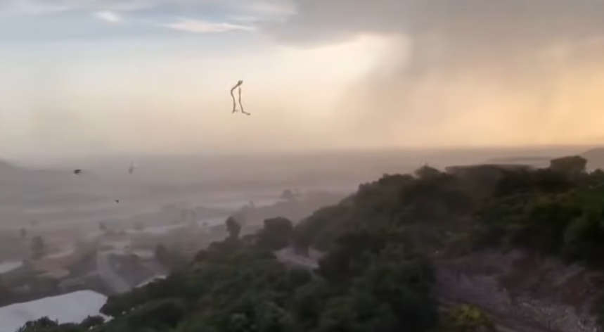
Vinaròs’s temperature at 7:45 p.m. was 28.9°C, which is warm but not dangerous for a summer Friday close to the coast. It reached 39.4°C after fifty-four minutes. It momentarily reached 40.4°C, according to some measurements from the local weather network AVAMET. In about the same time frame, the humidity, which had been close to 86%, dropped to 17%. Additionally, wind gusts at the Club Náutico reached 97 km/h, which is fast enough to send chairs flying and force people to cling to whatever is closest.
This was a warm heat burst, or reventón cálido, which is one of those phenomena that seems almost unbelievable until you see the data change in real time.
Tho it’s rarely observed with such intensity, the mechanism underlying it isn’t wholly unique. Strong downdrafts, or columns of descending air that eventually crash into the surface, are produced when a thunderstorm or convective system forms. Normally, that air cools down a little as it descends and brings rain with it. However, precipitation evaporates before it reaches the ground when the atmosphere below is sufficiently dry. The air mass is actually first cooled and compressed by the evaporation, which causes it to descend more quickly. The air has been compressed by rising atmospheric pressure by the time it reaches the surface, which causes it to heat up significantly. It comes like a gust from an open oven door: dry, hot, and swift.
Vinaròs was unique not only because the incident occurred, but also because of its location and timing. The sea acts as a kind of buffer for Mediterranean coastal towns. Reaching 40°C there, near 8 p.m., is more likely to occur in an interior valley at noon in July. What distinguishes a heat burst from any typical afternoon temperature swing is its speed—more than 10 degrees in less than an hour.
The episode ended. Temperatures quickly returned to 33°C, and humidity started to rise again. In some ways, this fleeting quality actually contributes to the phenomenon’s definition, making it more unsettling rather than less. A heat wave is something you can get ready for. Forecasts for the coming days show it. You have very little to work with during a heat burst.
Particularly as Mediterranean summers continue to advance into previously unheard-of territory, there’s something worth sitting with here. The combination of intense dry heat, abrupt strong winds, and tinder-dry vegetation is truly dangerous in ways that go beyond personal discomfort, but events like this don’t necessarily indicate a new permanent baseline—it’s still unclear exactly how much climate shifts are increasing their frequency. Under those circumstances, fire behavior is drastically altered. When gusts reach 97 km/h, a manageable fire can change direction and intensity in a matter of minutes.
Beyond the actual event, Vinaròs survived August 8 without any significant incidents. However, the town effectively absorbed a worst-case scenario of the elements that sometimes give the impression that summer in southern Europe is operating under a different set of rules than it once did. There was still the sea. The winds came back. The temperature dropped once more. Nevertheless, the sky acted in a completely different way for fifty-four minutes.
