

It’s only August, but weather experts are already arguing about what will happen in February. That doesn’t happen very often—making long-range predictions has become a seasonal sport in and of itself—but this year there’s a reason why the arguments are stronger than usual. As a Super El Niño forms in the Pacific, models are beginning to show what that might mean for the coming months.
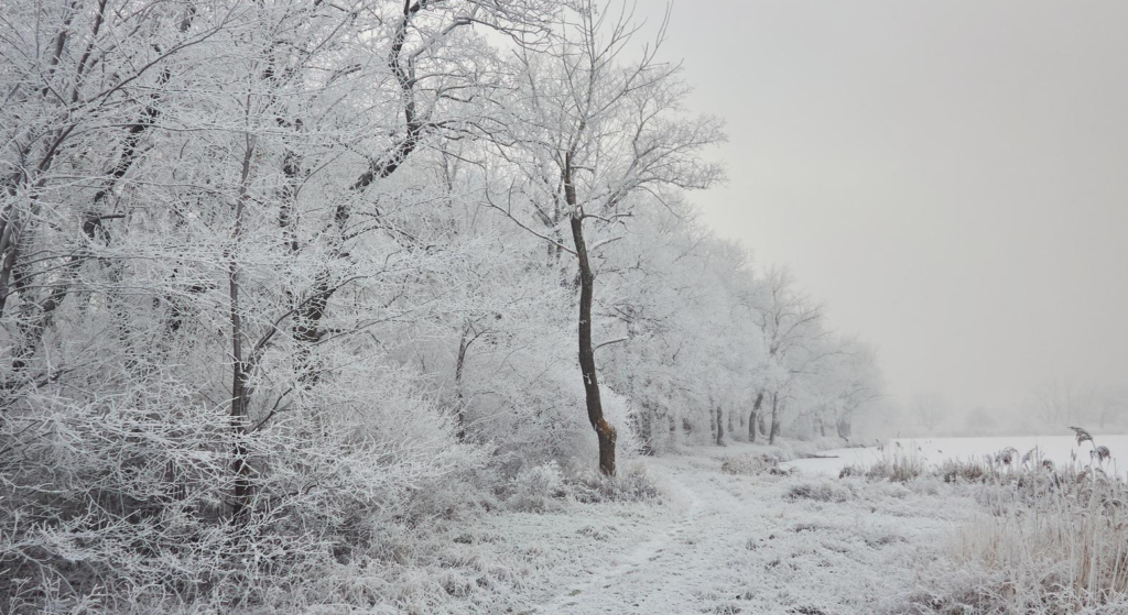
The country is pretty much split in half by the basic picture as it stands. It will be warmer than usual this winter in the West, especially along the Pacific Coast and in the northern Rockies. Most of the aggressive signals are coming from the East, especially from the Mid-Atlantic to New England. There will be colder weather, an active storm track, and a real chance of big nor’easters in January, February, and maybe even March. The South, on the other hand, is going to have an unusually wet season because the jet stream has moved, bringing multiple storm systems across the Gulf states.
For people who don’t pay close attention to weather patterns, El Niño is when the sea surface temperatures rise in the central and eastern tropical Pacific. Forecasters start using the “Super” prefix when the warming goes over a certain point, which is above two degrees Celsius warmer than normal. A researcher at Columbia’s Climate School named Muhammad Azhar Ehsan recently said that the equatorial Pacific’s deep ocean temperatures are already much warmer than usual, and that extra heat is starting to rise to the surface. That’s seen as a useful early warning sign.
How a strong El Niño affects the winter in the US depends a lot on what other weather patterns are going on at the same time. That is where the doubt lives. The Super El Niño of December 1997 can be used as a point of reference: that winter was wetter than usual in most of the southern US, while it was warmer than usual in the northern states. But weather patterns don’t always repeat themselves, and meteorologists are careful to point out that this winter could be very different from what the models say it will be like in December.
Direct Weather looked at three major climate models—the CFS, CanSIPS, and the European seasonal model—and found that the most common thing they all agreed on was the chance of an active storm track in the south. All three show that it will rain more in the Southwest and some parts of the South. This is because of a jet stream that is affected by El Niño and keeps pushing systems through the lower half of the country. If there is cold air around when those storms hit, places that don’t always expect winter effects have a better chance of getting snow.
This season, the snow risk is highest in four states: the Sierra Nevada mountain range in California, as well as New Hampshire, New York, and Vermont in the northeast. People in the Northeast just got through one of the snowiest winters they can remember, and forecasters think that the next season could be just as bad, if not worse. The Gulf States, parts of the Southeast, and the Mid-Atlantic are likely to get more rain than usual, according to NOAA’s Climate Prediction Center. They are calling these areas the ones where confidence is currently highest.
In the western US, things are a little different. Several models show that the West Coast and northern Rockies will have warmer-than-normal temperatures this fall and early winter. This is because of a positive Pacific North American pattern, which is a long-lasting feature in the atmosphere that can help warm the area. Even though the forecast won’t be set for months, this is something that ski resorts and water managers in Colorado and Utah should keep an eye on.
It’s clear that how people feel about these kinds of predictions has changed over time. At this point in August, people look at seasonal forecasts. Based on what the models show, they plan trips, deliveries of woodpiles, and maintenance on snowblowers months in advance. A good question is whether or not that trust is fully justified. Making long-range predictions is inherently uncertain, and Direct Weather made sure to point out that the advice will change a lot before winter actually comes. For example, the European model was not as harsh on cold temperatures than the CFS, but both models agreed on how the rain would fall.
Even so, the big signals are steady enough that you should pay attention. If that happens, a strong El Niño will cause an active southern jet, cold air will push into the east during the second half of winter, and the west will have a pretty calm pattern. For tens of millions of people, this winter will be very different from the last one. Things could still change. It’s not the first time that weather models have been wrong. But the groundwork that is being done now is important to keep an eye on as fall approaches and the weather forecasts get more accurate.
